
Soggy Dollar Bar - White Bay
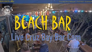
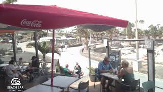
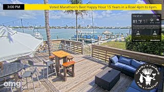
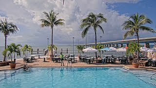
This live camera overlooks Soggy Dollar Bar in White Bay on Jost Van Dyke, capturing a real-time view of one of the Caribbean’s most well known beach spots. The stream shows boats anchored just offshore, clear turquoise water and visitors moving between the beach and the bar. Located in the British Virgin Islands, the area is known for its laid-back atmosphere and easy boat access, with many arriving by sea rather than road. The feed offers a direct look at everyday activity in a classic Caribbean setting, centred around one of its most iconic beachfront locations.
White Bay, British Virgin Islands
 VG
VG- White Bay
- Jost Van Dyke
- White Bay BVI
White Bay is a coastal bay located on the eastern shore of Tortola, the largest island in the British Virgin Islands. It lies within the Virgin Islands National Park, a protected area established to preserve the region’s natural and cultural heritage. The bay is part of the larger Crucian Sea, a body of water known for its clear waters and biodiversity. Its coordinates are approximately 18°30′N latitude and 64°25′W longitude, placing it in the northeastern Caribbean.
The bay is characterized by its white sandy beach, formed from crushed coral and shell fragments, which gives the area its name. The surrounding terrain includes rocky outcrops and shallow marine ecosystems, including seagrass beds and coral reefs. These environments support a variety of marine life, such as parrotfish, angelfish, and sea turtles, making it a site of ecological interest.
The bay’s calm waters also make it suitable for snorkeling and kayaking. White Bay holds significance as a recreational and conservation site within the British Virgin Islands. It is accessible by boat or a short hike from nearby areas, though no permanent settlements are located within the bay itself.
The site is managed by the Virgin Islands National Park, which balances tourism with efforts to protect its fragile ecosystems. Its designation as a protected area underscores its role in preserving the archipelago’s natural landscapes and marine biodiversity.
 The EARF Engine