Live stream unavailable
This camera is offline or temporarily unavailable. It may be under maintenance, having technical trouble, or it may have been removed by the provider. Listings are monitored continuously and this page updates when the stream returns.


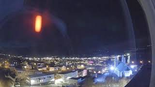
Grindavík, Southern Peninsula Region, Iceland
 IS
IS- Grindavíkurbær
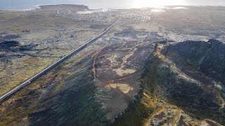
Grindavík is a fishing town situated in the Southern Peninsula district of Iceland, located near Þorbjörn on the far south-western part of the Reykjanes Peninsula. It stands on a lava field that erupted approximately 2,350 years ago from the Sundhnúkur crater chain and nearby Svartsengisfell volcanoes. As one of the few towns with a harbour on this coast, it serves as a significant community within the region, officially declared a municipality in 1974.
The Book of Settlements records that Viking settler Molda-Gnúpur Hrólfsson arrived in the area around 934, establishing settlements that evolved into the modern town. Grindavík has been an important fishing station since medieval times, with fishing rights owned by the Bishop of Skálholt in the 13th century. The origins of the current municipality trace to 1897 when Einar Einarsson built a shop there, and safer access to land was created at Hópið in 1939.
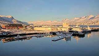
The town is defined by its harbour, Hópið, which was formed by an eruption 2,800 years ago and connected to the sea by a channel dug by residents in 1939. Notable landmarks include the Blue Lagoon geothermal spa located five kilometres away, the Leif the Lucky Bridge spanning the Álfagjá rift valley, and the Icelandic Saltfish Museum which opened in 2002. The area also hosts the United States Naval Radio Transmitter Facility with its distinctive tall masts.
Cultural heritage is preserved through the Icelandic Saltfish Museum, which details the importance of salt fish production to the national economy. The town supports local sports through Ungmennafélag Grindavíkur and its stadium, while also being home to notable residents such as writer Guðbergur Bergsson and footballer Alfreð Finnbogason. Visitors are drawn to the unique geological features and the opportunity to observe tectonic plate boundaries.
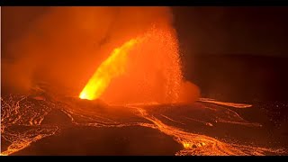
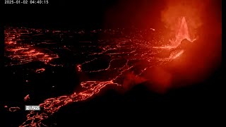
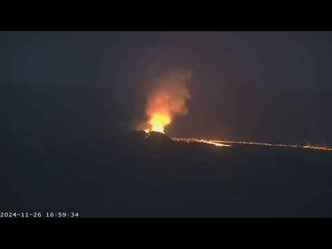
As of 2025, the population is 1,246, with most inhabitants working in the fishing industry which began serious development in 1950. The town has experienced significant disruption from volcanic activity, including evacuations in November 2023 and subsequent eruptions through 2025. Despite these challenges, it remains a functional community with established infrastructure, including a lighthouse on Hópsnes and various residential areas.
 The EARF Engine