

World Heritage Centre
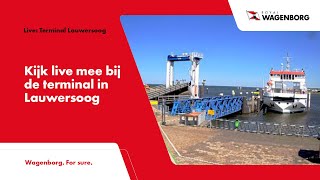
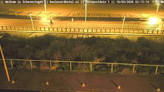
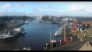
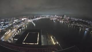
This live stream provides a view of the World Heritage Centre in Lauwersoog, Groningen, Netherlands. The camera looks across the centre and its surroundings near the Wadden Sea, providing a real-time view of the landscape and activity around this coastal gateway. Lauwersoog lies on the northern coast of the Netherlands at the edge of the Lauwersmeer and close to the Wadden Sea. The area is an important departure point for boats travelling into the Wadden Sea and towards the Wadden Islands, with the surrounding landscape shaped by waterways, wetlands and the open coastal environment. The live view captures activity around Lauwersoog throughout the day, while changing weather, tides and light can alter the appearance of the surrounding Wadden Sea landscape.
Lauwersoog, Groningen, Netherlands
 NL
NLLauwersoog is a seaside village and harbour situated in the northern part of the Netherlands within the province of Groningen. It lies on the border between Groningen and Friesland, positioned along the coast where the Wadden Sea meets the inland waters. Administratively, the settlement forms part of the municipality of Het Hogeland. Its geographic location makes it a significant coastal point for maritime activities in this region of the country.
The area was transformed as part of the Zuiderzee Works, which aimed to convert the Lauwerszee bay into the Lauwersmeer lake. A dike separating the lake from the Wadden Sea was completed in 1969 on the provincial border. The village and harbour were named Lauwersoog in 1964 based on a suggestion by Sip Sytsma of the Ministry of Transport and Water Management. This name was chosen to match nearby islands like Rottumeroog and Schiermonnikoog, despite criticism that oog means island.
Lauwersoog officially came into existence on 23 May 1969 after an agreement placed it in Groningen, a decision later disputed by Friesland. Initially intended for recreational use while Groningen developed Eemshaven, it became a commercial harbour specializing in fishing after conflicts were resolved in the States General. The settlement first appeared on maps in 1984 and has remained small, lacking significant architectural districts or historic landmarks beyond its functional harbor infrastructure.
The primary appeal for visitors is the ferry service that departs from Lauwersoog to the island of Schiermonnikoog. This transport link connects with local bus services, making it a gateway for coastal tourism. While the village itself was not very successful as a residential community, its role as a departure point draws people interested in accessing the Wadden Sea islands and exploring the surrounding natural landscapes.
Transport access is provided by Qbuzz route 163 from Groningen to Holwerd and Arriva route 50 from Leeuwarden. The E9 European long distance path passes through the village, and the Friese Kustpad trail runs for 131 kilometres from Stavoren to Lauwersoog. Visitors can reach the location by car via the N361 from Leeuwarden and Groningen. The economy is tied to its status as a commercial fishing harbour and ferry terminal.
 The EARF Engine