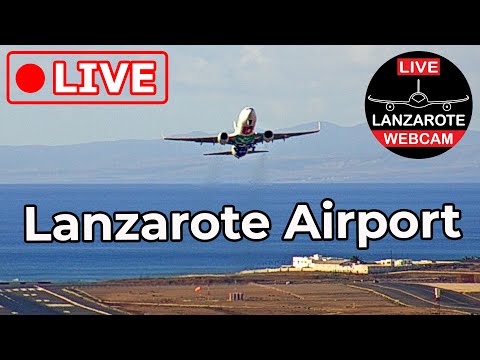


Lanzarote Airport (ACE/GCRR)
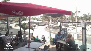
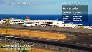
Live look at Lanzarote Airport on the island of Lanzarote in Spain’s Canary Islands. The camera overlooks the runway and apron, capturing aircraft arrivals, departures, and ground activity with wide views of the terminal and control tower.
San Bartolomé, Las Palmas, Spain
 ES
ESSan Bartolomé is a town and municipality located within the Canary Islands, an autonomous community of Spain. Situated in the central part of the island of Lanzarote, it serves as a significant administrative unit for the region. The municipality extends its boundaries to include the southeastern coastal areas of the island, positioning it strategically between several other key localities. Its geographic placement makes it a central hub within the island's municipal structure.
The name San Bartolomé derives from the Spanish term for Saint Bartholomew, reflecting the religious and cultural heritage of the area. While specific founding dates are not detailed in the available records, the municipality has developed into a distinct entity with defined boundaries. It is recognized as one of the municipalities in Las Palmas, contributing to the broader administrative framework of the Canary Islands. The area's history is intertwined with the development of Lanzarote as a whole.
The town lies northwest of Arrecife, the island's capital, and is connected to it via the LZ-20 road. It is positioned southwest of Teguise, southeast of Tinajo, which encompasses the Timanfaya National Park, and northeast of Tías. The municipality includes the coastal town of Playa Honda to its southeast, located between Arrecife and Lanzarote Airport. This geographic arrangement defines the character of the area, linking inland communities with coastal tourism zones.
The economy is heavily influenced by tourism, which stands as the biggest economic factor on Lanzarote. Most inhabitants work as craftsmen, farmers, or in service roles supporting this industry. The presence of Timanfaya National Park nearby and the coastal access to Playa Honda draw visitors to the region. These natural and recreational features define the local appeal, offering a mix of agricultural tradition and modern tourism infrastructure for those visiting the central part of the island.
As of 2019, the population was recorded at 18,816, covering an area of 40.89 square kilometres with a density of 460 per square kilometre. The town sits at an altitude of 240 metres above sea level. Access is facilitated by its connection to Arrecife and the nearby airport. The demographic profile reflects a community engaged in both traditional crafts and agriculture, alongside the service sector that supports the island's significant tourism industry.
 The EARF Engine