

Main Street - Deadwood
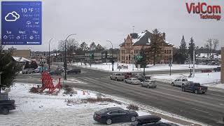
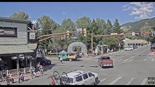
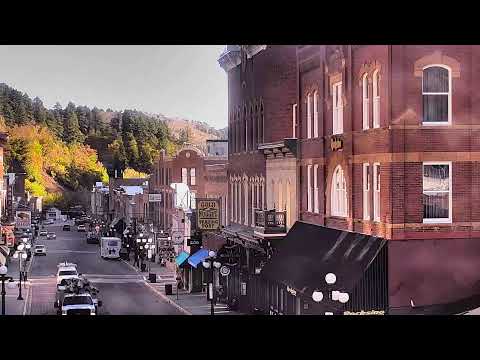
This live webcam provides a real-time view of Main Street in Deadwood, South Dakota, United States, looking into the historic heart of this Black Hills community. Deadwood is renowned for its connection to the American frontier and Gold Rush era, and its historic downtown remains one of the defining features of the town. The camera captures everyday activity along Main Street as it changes throughout the day, including passing vehicles, pedestrians, visitors and activity around the businesses lining the historic street. Weather, sunlight, seasonal conditions and changing levels of activity provide an evolving view of Deadwood's downtown environment. Deadwood was established during the Black Hills Gold Rush in the late 19th century and quickly developed into a prominent mining and frontier settlement. Much of the town's historic character has been preserved, with buildings and streetscapes reflecting its Western heritage. The entire Deadwood Historic District is recognised as a National Historic Landmark, making the downtown area an important part of South Dakota's cultural heritage.
Deadwood, South Dakota, United States
 US
US- Deadwood Historic District
Deadwood is a city serving as the county seat of Lawrence County in South Dakota, United States. Located in the Black Hills region, it sits within a landscape historically significant to the Lakota people, who consider the area sacred under the 1868 Treaty of Fort Laramie. The settlement began illegally in the 1870s on land granted to the Lakota, leading to numerous disputes that reached the United States Supreme Court. Its name derives from the dead trees found in its gulch, with the Lakota name Owáyasuta meaning "To approve or confirm things." This geographic and administrative role anchors its identity as a historic frontier town.
The town's heyday occurred from 1876 to 1879 following the discovery of gold deposits that triggered the Black Hills Gold Rush. Lieutenant Colonel George Armstrong Custer announced gold findings in 1874, prompting miners and entrepreneurs to create a lawless settlement that quickly swelled in population. The era attracted figures like Wyatt Earp, Calamity Jane, Seth Bullock, and Wild Bill Hickok, who was killed there in 1876. Despite fires in 1879 and 1894, and the eventual decline of gold panning, the town preserved its legacy through the long-operating Homestake Mine, which closed in 2002.
Deadwood is designated as a National Historic Landmark District for its well-preserved Gold Rush-era architecture, with most buildings constructed before 1900. The town features five history museums operated by the nonprofit Deadwood History, Inc., and retains sites like Mount Moriah Cemetery where Hickok and Jane are buried. A former Chinatown on Main Street highlights the diverse community of Chinese immigrants who peaked at 250 residents. The area also includes the historic Gem Theater site and remnants of the Deadwood Central Railroad, reflecting its complex social and industrial past.
Heritage tourism is central to Deadwood's appeal, drawing visitors interested in its storied Wild West history and the HBO series inspired by it. The town legalized gambling in 1989 as a means to stimulate growth, becoming one of the first small U.S. communities to seek legal gaming revenue for historic preservation. This policy generated significant development and revenue, though it raises questions about historical integrity. Visitors explore the preserved architecture, visit museums, and engage with the narrative of a town that transformed from a rough mining camp into a prosperous community.
The population was 1,156 at the 2020 census, with 2023 estimates suggesting a rise to 1,343 residents. The economy has shifted from gold mining to heritage tourism and gaming, supported by the nearby Homestake Mine's tourist operations. Interstate 90 bypassed the town in 1964, diverting some traffic, but the area remains accessible via local roads. Summer offers numerous trails for recreation, while the town's proximity to Lead often leads to them being collectively dubbed "Lead-Deadwood," enhancing regional visitor flow.
 The EARF Engine