

Doornenburg, Gelderland, Netherlands
 NL
NLDoornenburg is a village situated in the municipality of Lingewaard within the province of Gelderland in the Netherlands. It lies to the south east of Angeren, positioning it within the broader regional geography of eastern Dutch territory. As a distinct settlement, it functions as part of the local administrative structure defined by its municipal boundaries and provincial governance.
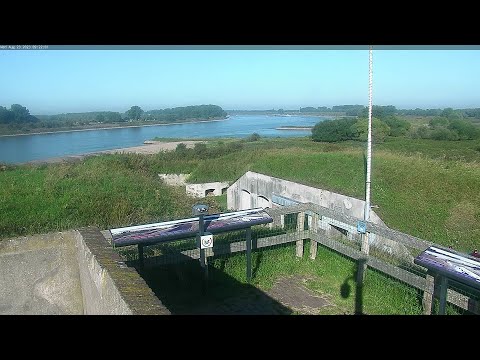
The village was first mentioned in the 9th century under the name Doronburc, which translates to a fortified place associated with either thorns or the person Doro. It developed on a ridge during the Early Middle Ages, establishing its foundational layout. The area later saw the construction of a fort on the Pannerdens Kanaal in 1742, though only fragments of this structure remain today.
A defining landmark is Doornenburg Castle, which began as a castle in front of a large square in the 14th century. During the 15th and 16th centuries, this square was aligned with buildings, and the outer bailey was constructed in the 15th century, becoming the largest in the Netherlands. The castle and its buildings were restored between 1937 and 1941 to return them to their medieval form.
The village holds significant historical weight due to events during the Second World War. It was evacuated on 12 October 1944, and the church tower was blown up by German soldiers on 27 December 1944. The village remained in German hands until 2 April 1945, after which the castle was severely damaged before undergoing restoration between 1947 and 1968.
In 1840, Doornenburg was home to 629 people, providing a historical baseline for its demographic size. Seven casemates were built near the fort in 1939, adding to the local military heritage. The village retains its character as a historic settlement with preserved architectural elements and a documented past that attracts interest from those studying regional history.
 The EARF Engine