
Chai Chet
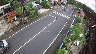
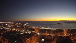
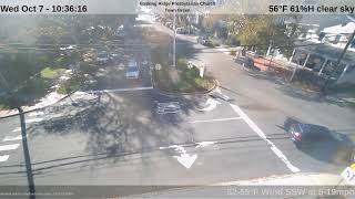
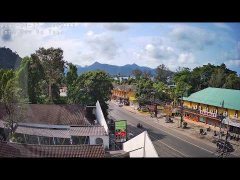
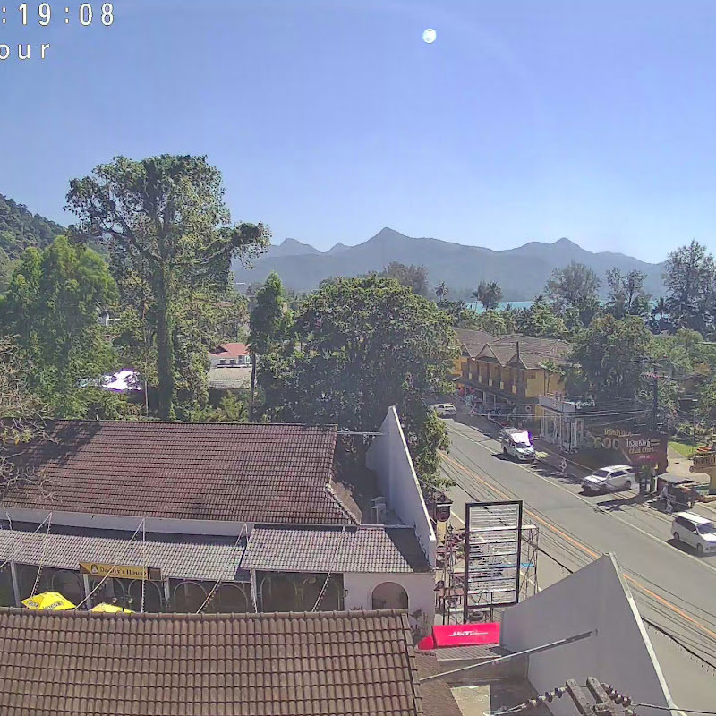
This live HD stream comes from Coco Dee Bo Tours and Internet Café in Chai Chet, on the scenic Koh Chang Island in Thailand. Facing south, the webcam captures the main road leading to Coconut Beach Resort, with a glimpse of the bay and jungle-covered mountains above Kai Bae in the distance. Located in Trat Province, Koh Chang is known for its lush rainforests, waterfalls like Khlong Phlu, coral reefs, and laid-back island vibes—making it a favourite getaway in the Gulf of Thailand.
Ko Chang, Trat, Thailand
 TH
TH- Ko Chang District
- เกาะช้าง
- Amphoe Ko Chang
Ko Chang is an island and administrative district located in Trat Province, Thailand, situated on the eastern coast of the Gulf of Thailand near the Cambodian border. It occupies the majority of the district's land area within an archipelago of fifty-two islands. The island measures approximately thirty kilometers long by fourteen kilometers wide, covering an area of two hundred ten square kilometers. This makes it the third-largest island in Thailand by area, following Phuket and Ko Samui. Its name translates to Elephant Island, derived from the elephant-shaped headland that defines its geography.
Prior to World War II, the island was little known, with families surviving through coconut and fruit cultivation. The area gained historical significance on January 17, 1941, during the Battle of Ko Chang between the Royal Thai Navy and a Vichy French squadron. A memorial at Laem Ngop commemorates this engagement annually. In 1982, the island and surrounding waters became part of the protected Mu Ko Chang National Park. The district itself was formally established on April 30, 1994, splitting from Laem Ngop District before being upgraded to a full district in 2007.
The terrain is mountainous, with Khao Salak Phet rising as the highest peak at 744 meters. The island features rainforests, coral reefs, waterfalls, and steep cliffs. Main settlements are concentrated on the west coast around Sai Khao and Hat Kai Mook, while the administrative center is Ban Dan Mai on the east coast. The island hosts eight villages, with Ban Salak Phet being the oldest community. Seventy percent of the national park area is offshore, preserving the marine environment alongside the terrestrial landscapes that define the island's physical character.
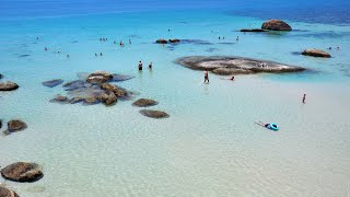
Tourism drives the local economy, attracting visitors for snorkeling, diving, and jungle hiking since the mid-1970s. The island offers long white sandy beaches, particularly on the western side, which are less developed than other Thai destinations. Wildlife includes stump-tailed macaques, civets, and the Ko Chang frog. Traditional livelihoods persist in fishing villages like Bang Bao, where houses stand on stilts over the sea. Lychee orchards also contribute to the local culture, with specific varieties believed to be unique to the island.
The population of the district was 8,476 as of 2018. The economy relies heavily on tourism, though fishing and rubber plantations remain important. There is no airport on the island; the nearest access point is Trat Airport, located seventeen kilometers from the ferry terminal. Ferries operate year-round, with additional seasonal services to nearby islands. The climate receives over 4,500 millimeters of rain annually, making it one of Thailand's wettest regions. The cool season between November and February is considered the best time to visit due to lower rainfall.
 The EARF Engine