

Ohio River Jeffersonville
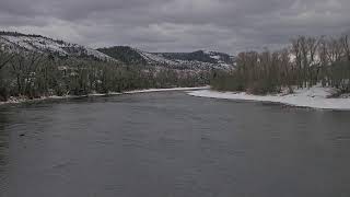
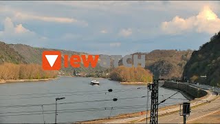
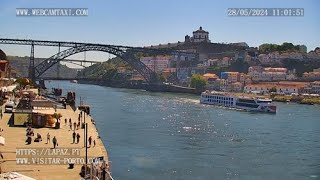
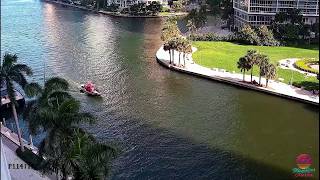
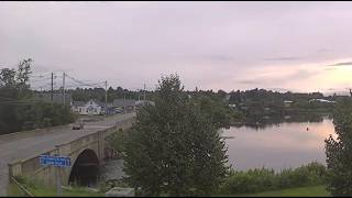
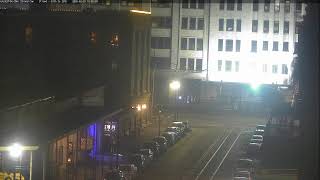
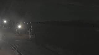
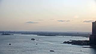
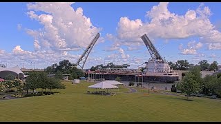
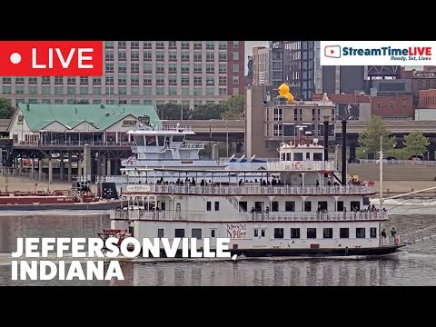
This live camera in Jeffersonville, Indiana, United States, shows the Ohio River with views toward the Louisville skyline. The stream overlooks the riverfront near Upland Jeffersonville, capturing passing ships, the scenic waterfront, and daily activity along one of America’s major inland waterways.
Jeffersonville, Indiana, United States
 US
US- Jeffersonville, IN
Jeffersonville is a city located in Clark County, Indiana, within the United States. It serves as the county seat for Clark County and sits directly along the banks of the Ohio River. The city is positioned just north of Louisville, Kentucky, with the river forming a natural boundary between the two states. This strategic location places Jeffersonville along Interstate 65, connecting it to major regional transportation networks while maintaining its identity as a distinct municipal entity in southern Indiana.
The settlement originated around Fort Finney after 1786, established by U.S. Army planners for its strategic view of the Ohio River bend. The fort was later renamed Fort Steuben in 1791 before being abandoned in 1793. The community was named after Thomas Jefferson in 1801, coinciding with his inauguration as president. In 1802, Jeffersonville replaced Springville as the county seat, a status it briefly lost to Charlestown in 1812 but regained permanently in 1878.
Historical developments significantly shaped the city's infrastructure and economy. Shipbuilding began in 1819, with steamboats becoming central to local industry, notably through James Howard's operations which eventually settled in Port Fulton. During the Civil War, the city hosted Camp Joe Holt and later Jefferson General Hospital, which treated over 16,000 patients between 1864 and 1866. The Quartermaster Depot also played a crucial role, storing supplies for frontier wars throughout the late nineteenth century.
Cultural heritage is celebrated through events like Steamboat Days, an annual September festival honoring the city's maritime history. Jeffersonville was a vital stop on the Underground Railroad, with citizens like Dr. Nathaniel Field and Mayors Oswald Wooley and Uriah Damron aiding fugitives, though some faced arrest for their efforts. The city also features the Carnegie Library, a beaux arts landmark with a copper dome designed by Arthur Loomis, which opened in 1905 and survived the devastating Ohio River Flood of 1937.
The population of Jeffersonville was recorded at 49,447 in the 2020 census. The economy has historically relied on shipbuilding, military supply depots, and manufacturing, including the production of shirts during World War I when the depot earned the nickname America's largest shirt factory. Access to the city is facilitated by its position on the Ohio River and major railroads, including the Jeffersonville Railroad and the Ohio and Mississippi Railway, linking it to Louisville and the broader South.
 The EARF Engine