

Queen Isabella Causeway
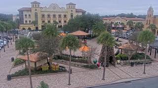
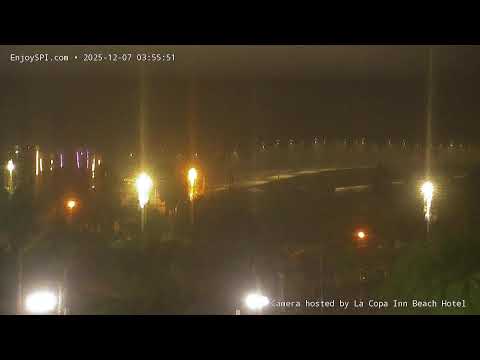
This live webcam offers a sweeping view of the Queen Isabella Memorial Causeway, the sole roadway connecting South Padre Island to the Texas mainland via Port Isabel. Spanning 2.37 miles across the Laguna Madre, the bridge is a vital link for residents and visitors alike. The camera captures real-time traffic, weather conditions, and the scenic coastal landscape, providing a glimpse into the daily rhythm of this bustling thoroughfare.
South Padre Island, Texas, United States
 US
US- South Padre Island, Texas
- South Padre Island, TX
South Padre Island is a resort town situated in Cameron County, Texas, within the United States. It forms part of the Brownsville-Harlingen metropolitan area and lies on a barrier island along the Texas Gulf Coast. The Laguna Madre is located to the leeward side of the island, while the Gulf of Mexico borders the windward flank. Administratively, it operates under a home-rule charter with a council-manager form of government.
The settlement was officially incorporated in 1973 to manage development and tourism growth. Initial expansion was spurred by the construction of an original causeway in the early 1950s, which provided the first permanent vehicular link to the mainland. This structure was replaced in 1974 by the higher-capacity Queen Isabella Causeway, further boosting accessibility. The island is named after José Nicolás Ballí, a Catholic priest and settler known as Padre Ballí.
The town occupies the southern end of the barrier island, with limits extending six miles from Isla Blanca Park to the northern development edge. Padre Boulevard serves as the main thoroughfare, flanked by parallel Gulf and Laguna streets. Notable sites include the South Padre Island Birding and Nature Center, which features boardwalks and observation towers, and the Sea Turtle, Inc. conservation center that rehabilitates injured sea turtles.
Tourism drives the local character, with the island serving as a popular destination for spring break students, winter Texans, and families. Visitors engage in ecotourism, fishing, snorkeling, kiteboarding, parasailing, surfing, and horseback riding. The area is recognized for its clear turquoise waters and is featured on National Geographic’s global list for kiteboarding due to favorable wave conditions and wind patterns.
The population was 2,066 as of the 2020 census. The economy relies heavily on tourism, supported by the nearby Port of Brownsville which handles diverse cargo and maritime traffic. Access is exclusively via the Queen Isabella Causeway from Port Isabel. The climate is warm and humid subtropical, with average highs reaching 90 °F in July and significant rainfall in September, though temperatures above 100 °F are uncommon.
 The EARF Engine