
Henne Strand
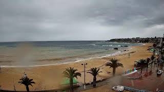
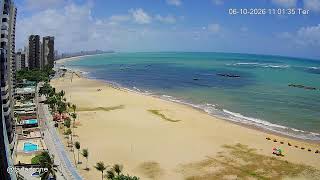
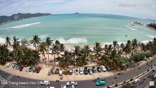
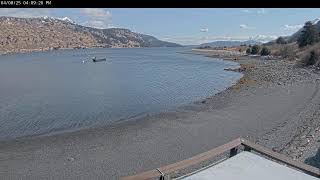
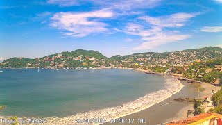
This live webcam views the beach at Henne Strand, near the town of Henne in the southern part of the Jutland peninsula, Region Syddanmark, Denmark. It shows the wide, light-sandy shoreline meeting the waters of the North Sea, with gently rolling dunes behind and a calm coastal horizon stretching out. The long beach expanse and open sky create a serene scene of Danish west-coast nature, offering a clear view of the area.
Henne, Southern Denmark, Denmark
 DK
DK- Henne
- Henne Kommune
Henne is a small town located in the municipality of Varde, in the Region of Southern Denmark, Denmark. It is situated in the western part of the Jutland peninsula, approximately 30 kilometers northwest of the city of Esbjerg. The town is part of the coastal area along the North Sea.
Henne is classified as a rural town with a relatively small population. The town's economy and infrastructure are likely influenced by its proximity to larger cities like Esbjerg and the regional capital, Vejle. The area around Henne is known for its natural beauty, with the Henne River and surrounding landscapes offering opportunities for outdoor activities.
The town of Henne has some historical significance, with archaeological findings indicating human settlement in the area dating back to the Viking Age. However, specific details about its historical importance and notable features are not widely documented. The town's development has likely been influenced by its coastal location and agricultural surroundings.
Henne's current status and activities are not extensively documented, but it is likely that the town continues to serve as a small community center for the surrounding rural areas. The town's residents may be involved in local businesses, agriculture, and services, contributing to the regional economy.
 The EARF Engine