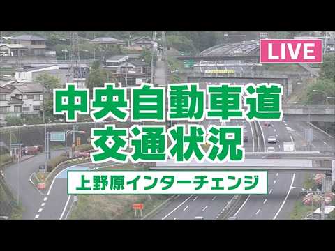


Uenohara, Yamanashi, Japan
 JP
JP- 上野原町
Uenohara was a town situated in the Kitatsuru District of Yamanashi Prefecture, Japan. It occupied a total area of 125.51 square kilometers within the broader region of the country. The settlement served as an administrative unit before its eventual merger with neighboring municipalities to form a larger city entity.
The town existed until February 13, 2005, when it was absorbed by the village of Akiyama from Minamitsuru District. This consolidation created the new city of Uenohara. Prior to this event, Uenohara maintained its distinct status as a town within Kitatsuru District, marking the end of its independent administrative history.
The geography of the former town was defined by several significant natural features. It included Mount Mikuni, Mount Ōgi, and Mount Mitō within its boundaries. The landscape was also shaped by three major rivers: the Sagami River, the Nakama River, and the Tsuru River, which flowed through the area.
Before its dissolution, Uenohara was surrounded by specific municipalities that defined its local context. In Yamanashi Prefecture, it bordered Ōtsuki, Kosuge, and Akiyama. It also shared boundaries with Hinohara in Tokyo Prefecture and Fujino in Kanagawa Prefecture, placing it at a junction of several regional jurisdictions.
As of 2004, the area had an estimated population of 26,555 people. This resulted in a population density of 211.58 persons per square kilometer. These figures provide a snapshot of the demographic profile and settlement intensity during the final years before the town was merged into the new city structure.
 The EARF Engine










![[公式]スターキャット thumbnail](https://yt3.ggpht.com/HctH3nbthpSnqkSmip0mKd58sfF8jrSu-3nQQPGjNXZrZ6-M1aWifq38wUMqEBgM31B8Qz08=s800-c-k-c0x00ffffff-no-rj)