Stream Thumbnail
[公式]スターキャット

Sasashima

[公式]スターキャット

21.1K subscribers

Nagoya, Aichi, Japan

SkylinesJapan
Wednesday, October 7
Clear Sky
09:07 AM
23°C / 73°F
Clear Sky
Location

Nagoya, Aichi, Japan

JP
Known as
  • Nagoya-shi
  • 名古屋市
  • 名古屋

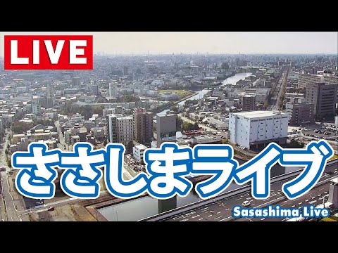
Nagoya serves as the capital and most populous city within Aichi Prefecture, situated in the Chūbu region of central Honshu, Japan. Located on the Pacific coast north of Ise Bay on the fertile Nōbi Plain, it functions as the principal city of the Chūkyō metropolitan area. The city is built on low-level plateaus designed to ward off floodwaters, with the Kiso and Shōnai rivers defining its western and northeastern borders respectively.

The city's origins trace back to the Jōmon and Kofun periods, with significant development occurring in 1610 when Tokugawa Ieyasu moved the capital of Owari Province from Kiyosu to this strategic location. This shift spurred the construction of Nagoya Castle and the growth of a town around it. During the Meiji Restoration, rapid industrialization transformed Nagoya into a major hub for automobile, aviation, and shipbuilding industries, though it suffered extensive damage during American air raids in the Pacific War.

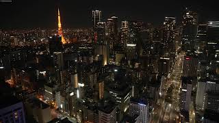
Nagoya is defined by its industrial heritage and historic landmarks, including the reconstructed Nagoya Castle and the ancient Atsuta Shrine, which houses the Imperial Regalia of Japan. Notable sites include Higashiyama Zoo and Botanical Gardens, Hisaya Ōdori Park, and the Port of Nagoya Public Aquarium. The city also features the Nagoya TV Tower and serves as a significant center for transport and industry, hosting the headquarters of major corporations like Toyota and Lexus.

The city plays an increasing role in the MICE industry, having hosted Expo 2005 and the Nagoya Protocol conference in 2010. It is set to host the 2026 Asian Games, becoming the third Japanese city to do so after Tokyo and Hiroshima. Educational institutions such as Nagoya University and the Nagoya Institute of Technology contribute to its cultural landscape, while its history as a manufacturing center draws visitors interested in its automotive and industrial legacy.

As of 2021, Nagoya has a population of 2,326,844, though it is noted as having 2.3 million people in 2025. It maintains a humid subtropical climate with hot, humid summers and cool winters, experiencing rain throughout the year. The city is linked to Tokyo, Osaka, and Kyoto by the Tokaido Shinkansen and remains a vital economic center, known for its diversified economy following World War II.

Powered byGAIA
EARF is provided by The EARF EngineThe EARF EngineCore intelligence, data, and observation systems powering EARF.ATHENA — Adaptive Tactical Heuristic & Executive Network Architecture. The strategic brain and administrative layer.ATLAS — Earth Database & Global Information System. Knowledge backbone: geospatial data, metadata, world intelligence.EOS — Environmental Observation System. Live monitoring, camera status, and stream health.GAIA — Conversational AI companion for travel, geography, and cosmic insight. Runs and maintains most of The EARF Engine behind the scenes.
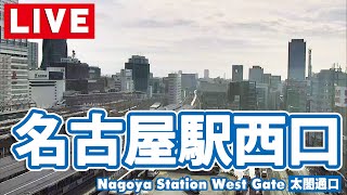
West Gate, Nagoya StationRailways

West Gate, Nagoya Station

Nagoya, Aichi, Japan

[公式]スターキャット thumbnail[公式]スターキャット
Nearby1.3 kmJapan
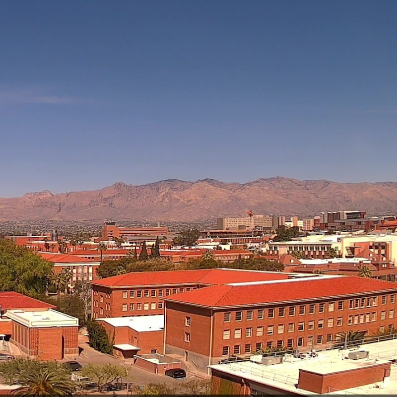
 UArizona SkylineSkylines

UArizona Skyline

Tucson, Arizona, United States

UArizona Computer Science Webcams thumbnailUArizona Computer Science Webcams
Skylines9,700 kmUnited States
Akita City PortPorts

Akita City Port

Akita, Japan

ABS秋田放送 thumbnailABS秋田放送
Japan583 kmJapan
Portland City Southwest ViewSkylines

Portland City Southwest View

Portland, Oregon, United States

Portland's CW thumbnailPortland's CW
Skylines8,000 kmUnited States
Kabukichō (2)City

Kabukichō (2)

Shinjuku-ku, Tokyo, Japan

歌舞伎町 ライブ ちゃんねる 2『 Kabukicho Live Channel II 』 thumbnail歌舞伎町 ライブ ちゃんねる 2『 Kabukicho Live Channel II 』
Japan262 kmJapan
Concepción CentreSkylines

Concepción Centre

Concepción, Biobío, Chile

ConceCam thumbnailConceCam
Skylines17,300 kmChile
Tokyo Station MarunouchiTrain Stations

Tokyo Station Marunouchi

Chiyoda-ku, Tokyo, Japan

大丸有協議会 thumbnail大丸有協議会
Japan268 kmJapan
Stein am RheinSkylines

Stein am Rhein

Stein am Rhein, Schaffhausen, Switzerland

streeeam.com thumbnailstreeeam.com
Skylines9,500 kmSwitzerland
Ryogoku DistrictTraffic

Ryogoku District

Tokyo, Tokyo Prefecture, Japan

東京ライブカメラ | Tokyo Live Cam thumbnail東京ライブカメラ | Tokyo Live Cam
Japan270 kmJapan
Cipolletti CitySkylines

Cipolletti City

Cipolletti, Río Negro, Argentina

Innovación Cipolletti thumbnailInnovación Cipolletti
Skylines17,800 kmArgentina
Bandai Bridge Rivers

Bandai Bridge

Niigata, Japan

新潟日報 thumbnail新潟日報
Japan363 kmJapan
Ottawa SkylineSkylines

Ottawa Skyline
Ottawa, Ontario, Canada

DestC thumbnailDestC
Skylines10,500 kmCanada
 Metropolitan Expressway Yoga TollgateTraffic

Metropolitan Expressway Yoga Tollgate

Tokyo, Tokyo Prefecture, Japan

iTSCOM thumbnailiTSCOM
Japan255 kmJapan
Chuo CitySkylines

Chuo City

Chuuou-ku, Tokyo Prefecture, Japan

東京ライブカメラ | Tokyo Live Cam thumbnail東京ライブカメラ | Tokyo Live Cam
Skylines268 kmJapan
Mt. Fuji PanoramaMountains

Mt. Fuji Panorama

Minamitsuru District, Yamanashi, Japan

フジヤマNAVI thumbnailフジヤマNAVI
Japan176 kmJapan
Shimbashi SkylineSkylines

Shimbashi Skyline

Minato-ku, Tokyo Prefecture, Japan

共同通信LiveCamera thumbnail共同通信LiveCamera
Skylines266 kmJapan
Shirahama Ohama BeachBeaches

Shirahama Ohama Beach

Shimoda, Shizuoka, Japan

LIVE SHIMODA thumbnailLIVE SHIMODA
Japan198 kmJapan
Traverse City West BaySkylines

Traverse City West Bay

Traverse City, Michigan, United States

Radio Centre thumbnailRadio Centre
Skylines10,200 kmUnited States
Kokusai-dori Shopping DistrictShopping Districts

Kokusai-dori Shopping District

Naha, Okinawa, Japan

バクノビジョン thumbnailバクノビジョン
Japan1,300 kmJapan
Belém OverviewSkylines

Belém Overview

Belém, Pará, Brazil

Belém-PA ao vivo thumbnailBelém-PA ao vivo
Skylines16,200 kmBrazil