
Auckland Viaduct & Harbour
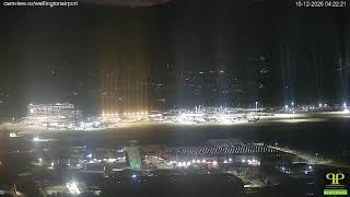
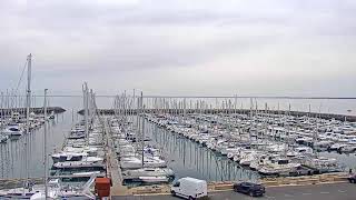
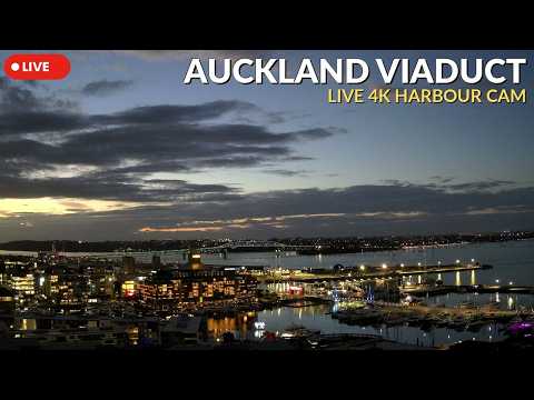
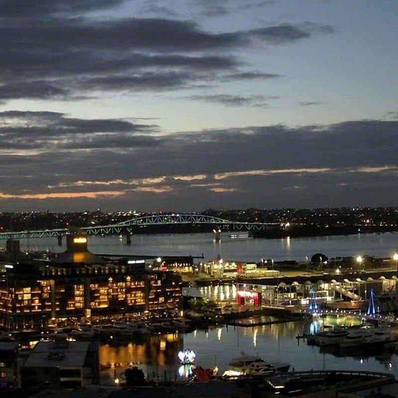
This live stream overlooks Viaduct Harbour in Auckland, New Zealand, one of the city's most vibrant waterfront precincts. Framed by modern architecture and the sparkling waters of Waitematā Harbour, the view captures luxury yachts, visiting vessels, bustling marinas, and the ever-changing atmosphere of Auckland's iconic harbourfront. From peaceful sunrises and busy afternoons on the water to colourful sunsets and the city's lights reflecting across the harbour after dark, every moment offers a different perspective. Whether boats are arriving from the Hauraki Gulf, people are enjoying the waterfront promenades, or the marina is alive with activity, there's always something new to discover. Viaduct Harbour is a popular destination for both locals and visitors, known for its waterfront restaurants, cafés, bars, and scenic walking paths. Originally redeveloped for the America's Cup, it has become one of Auckland's premier leisure and entertainment districts, combining maritime history with a modern waterfront lifestyle.
Auckland, New Zealand
 NZ
NZ- West Auckland
- West Auckland, New Zealand
West Auckland is a major geographical area within Auckland, the largest city in New Zealand. Situated between the Waitākere Ranges to the west and the upper reaches of the Waitematā Harbour to the east, it forms a distinct region defined by its volcanic history and coastal geography. The area encompasses suburbs such as Glen Eden, Henderson, Massey, and New Lynn, alongside the former Waitakere City boundaries. It serves as a significant part of the metropolitan landscape, characterized by its proximity to both the ranges and the harbour.
European settlement began in the 1840s, initially centered around the kauri logging trade. Subsequent industries included kauri gum digging, orchards, vineyards, and clay brickworks along the estuaries of the Waitematā Harbour. Originally isolated from the developing city on the isthmus, West Auckland expanded significantly after connecting to the North Auckland railway line in 1880 and the Northwestern Motorway in the 1950s. Prior to this expansion, the area was largely defined by its natural barriers and industrial roots.
The region is dominated by the Waitākere Ranges, the eastern slopes of the Miocene era Waitākere volcano, which is now one of New Zealand's largest regional parks. The topography includes sedimentary basins, volcanic remnants, and coastal beaches like Piha and Te Henga / Bethells Beach. Historically, the area was within the rohe of Te Kawerau ā Maki, with traditional names including Hikurangi and Te Wao Nui a Tiriwa. The landscape features diverse ecology, from kauri forests to coastal hebe, shaped by millions of years of geological activity.
West Auckland is home to a distinct sub-culture known as Westies, often depicted in media like Outrageous Fortune. The area offers access to extensive natural parks and beaches, attracting visitors for its scenic beauty and outdoor activities. The Waitākere Ranges provide habitats for native species such as the New Zealand long-tailed bat and Hochstetter's frog. Cultural heritage is preserved through traditional Māori names and historical sites related to early settlement and indigenous portages connecting major harbours.
The wider Auckland region has a population of 1.7 million, serving as the main arrival point for visitors to New Zealand. West Auckland itself includes diverse communities and evolving demographics, with stereotypes of the Westie identity adapting over time. The area is well-connected via motorways and railways, facilitating access to the city center. Its economy and lifestyle are influenced by its status as part of a multicultural hub ranked highly in quality-of-life polls, though it remains New Zealand's most expensive city.
 The EARF Engine