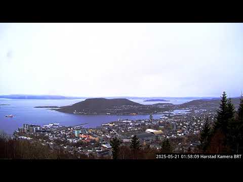


Harstad Overview
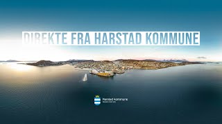
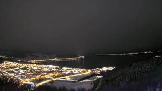
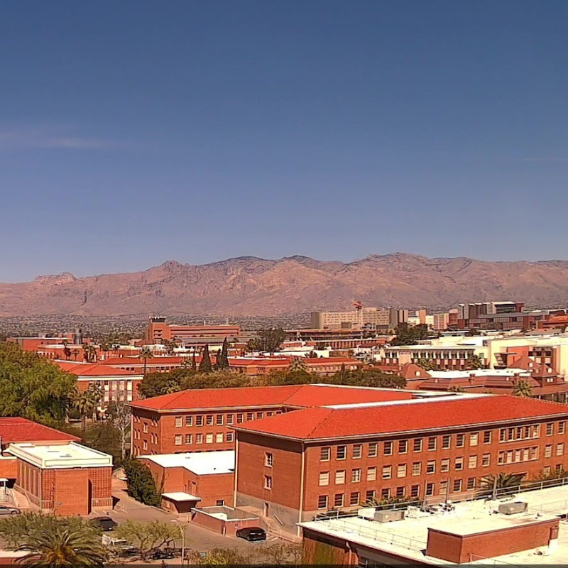
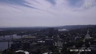
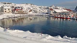
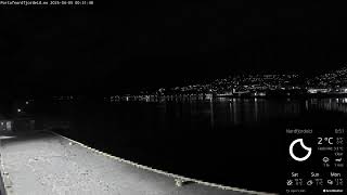
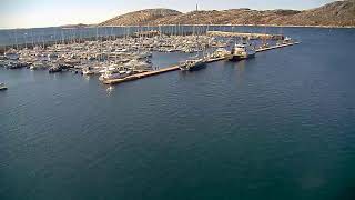
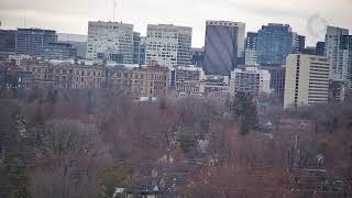
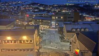
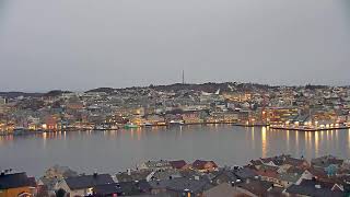
This live camera provides a sweeping overview of Harstad, a scenic coastal town in northern Norway. From this vantage point, you can typically see the town’s buildings nestled along the shoreline, backed by rolling hills or mountains that change appearance with the seasons. Depending on the time of day and weather conditions, the view may showcase anything from bright sunlit panoramas to softly lit snowfalls or dramatic cloud formations. Whether it’s a tranquil summer evening with sparkling waters or a wintry scene blanketed in white, this webcam offers a dynamic window into Harstad’s ever-changing beauty.
Harstad, Troms, Norway
 NO
NO- Harstad Municipality
- Hárstták
- Harstad kommune
Harstad is a municipality and city located in Troms county, Norway, situated primarily on the large island of Hinnøya. It serves as the administrative center for the region and holds the distinction of being the second-most populated municipality in Troms. The municipal area encompasses numerous islands within southern Troms county, including Grytøya, Bjarkøya, and Sandsøya, while sharing water borders with Ibestad Municipality to the northeast. Its geographic position places it in Central Hålogaland, making it a significant hub in Northern Norway.
The town of Harstad was incorporated in 1904 after being declared a ladested, or small seaport, separating from Trondenes Municipality with an initial population of 1,246. Major administrative changes occurred in 1964 when it merged with Sandtorg and Trondenes municipalities, and again in 2013 with the addition of Bjarkøy Municipality. The area has deep historical roots, evidenced by Bronze Age artifacts like a 3,000-year-old axe and Iron Age culture remains around 200 AD. Trondenes was a Viking Age power center, and the nearby Trondenes Church is the world's northernmost medieval church.
The municipal center is the town of Harstad, which is popularly known as Vågsfjordens perle, or The pearl of Vågsfjorden. It is the most populous town in Central Hålogaland and the third-largest in all of Northern Norway. Notable landmarks include the Trondenes Historical Center, the Adolf Gun from World War II, and Sætertinden, the highest point in the municipality at 1,095 meters. The region features varied landscapes with coastal mountains, fjords, and Møysalen National Park on Hinnøya, alongside villages such as Elgsnes, Fauskevåg, and Gausvika.
Cultural heritage is prominent through sites like Trondenes Church and the historical center, which highlight the area's Viking Age trading significance. The region supports unique agricultural activities, including dairy farming, sheep grazing, and the northernmost strawberry farming on the planet. Visitors are drawn to the natural beauty of the islands and the national park, as well as the opportunity to see the aurora borealis during clear nights outside the summer months of continuous daylight.
Harstad has a population of 25,204 as of 2026, with a density of 56.3 inhabitants per square kilometer. Access is facilitated by Evenes Harstad/Narvik Airport, located 45 km away, and express ferries linking the city to Tromsø and surrounding islands. The climate features mild winters and cool summers, with temperatures rarely exceeding 22 °C in July. The municipality benefits from its sheltered location against Atlantic gales, offering a unique environment for tourism and local industry.
 The EARF Engine