
Nordfjordeid, Vestland, Norway
 NO
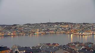
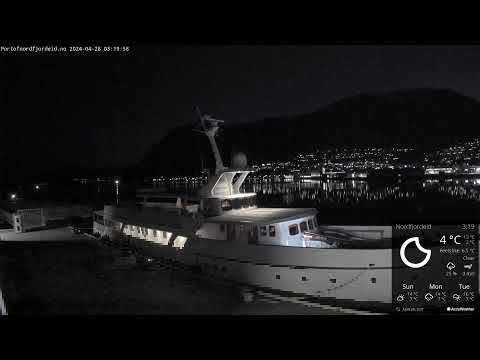
NONordfjordeid serves as the administrative centre of Stad Municipality in Vestland county, Norway. It is situated at the eastern head of Eidsfjorden, an inner branch of the larger Nordfjorden, with steep mountainous terrain to the north and south. The village lies just east of Hornindalsvatnet, which holds the record as the deepest lake in Europe. This strategic location makes it a commercial and cultural hub for the greater Nordfjord region.
Historically, the area was known as Eygis or Eid during the Viking Age, meaning the innermost part of a fjord. It served as the center of power for the Kingdom of Firda, with the Myklebust farm being the largest and home to King Audbjörn Frøybjørnsson. After Audbjörn's death in 870, his half-brother Vemund Kamban ruled until he was killed by Jarl Ragnvald of Møre. The region later shifted to Christianity in 997 under King Olav Tryggvason.
The village functions as a primary shopping destination centered around the historic Eidsgata and modern Sjøgata waterfront, where Alti Nordfjord is located. It is internationally recognized for attractions such as the Sagastad Viking Center, which houses a replica of the Myklebust ship, and the Norwegian Fjordhorse Center. Other notable sites include Ekserserplassen, Norway's oldest military parade ground, and Operahuset Nordfjord.
Nordfjordeid offers significant cultural and historical appeal, drawing visitors to its Viking heritage and natural surroundings. The Sagastad Viking Center provides insight into the Iron and Viking Ages, while the Norwegian Fjordhorse Center highlights local equine traditions. The area's deep integration with western Norwegian history, from the Myklebust dynasty to medieval Christianization, creates a rich narrative for tourists exploring the fjord landscape.
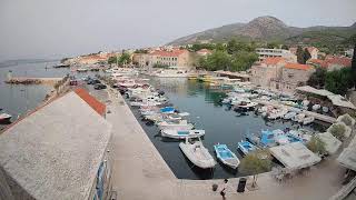
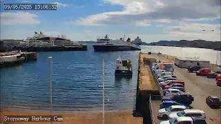
As of 2025, the population is 3,247. The local economy is driven by commerce, agriculture, timber, and tourism, supported by the Port of Nordfjordeid, which is the 10th most visited passenger terminal in Norway for cruise traffic. It is a regional transport junction at the intersection of European route E39 and National Road 15. The climate is oceanic with high precipitation due to orographic lift.
 The EARF Engine