

Kongens Plass
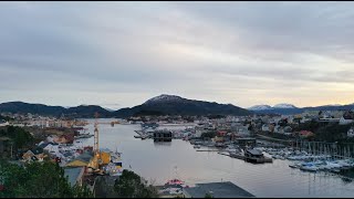
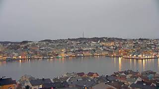
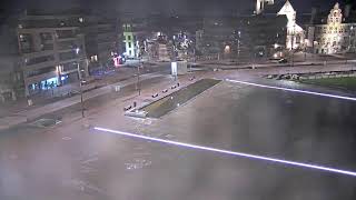
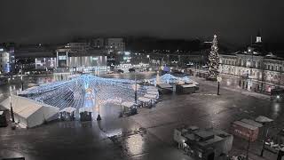
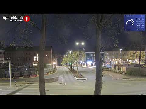
This live webcam shows Kongens Plass in Kristiansund, Møre og Romsdal, Norway, overlooking one of the town’s central public squares near the waterfront. The view captures an open urban space framed by low-rise buildings, shops, and cafés, with pedestrian areas where locals gather and move through the town centre. Nearby streets connect the square to the harbour and surrounding neighborhoods, reflecting Kristiansund’s compact island layout and everyday rhythm, offering a real-time view of the atmosphere of this coastal Norwegian town.
Kristiansund, Møre og Romsdal, Norway
 NO
NO- Kristiansund Municipality
- Christiansund
Kristiansund is a municipality situated on the western coast of Norway within the Nordmøre district of Møre og Romsdal county. Its administrative center, the town of Kristiansund, serves as the major urban hub for the entire Nordmøre region. The municipality encompasses several notable settlements including the villages of Kvalvåg, Rensvik, and Nedre Frei, alongside the small Grip archipelago in the northwest. It is bordered by Smøla, Aure, Tingvoll, Gjemnes, and Averøy municipalities, surrounded by the Freifjorden and Kvernesfjorden.
The area has evidence of settlement dating back to 8000 BCE, with significant Viking-era battles occurring on Frei island. The town was founded in 1742 by King Christian VI, who granted it town status due to its thriving clipfish export industry. Historically spelled Christianssund, the name reflects the Danish-Norwegian king and the strait where it sits. The municipality itself was established on 1 January 1838 under the formannskapsdistrikt law, initially comprising only the town and its immediate surroundings.
The town is built across four main islands, with Nordlandet hosting the airport and Kirkelandet forming the constricted central harbor area. The municipality's character is defined by unique post-World War II architecture, as nearly eighty percent of the city was demolished during bombing raids in 1940. The natural harbor protects the center from Atlantic weather. Other key sites include Frei island, home to the highest point Freikollen, and Grip island, which features a historic stave church and lighthouse.
Visitor appeal is driven by the distinctive urban small city center and the scenic beauty of the surrounding islands and fjords. The Grip archipelago remains a popular tourist attraction during summer, offering views of deserted fishing village architecture. Cultural landmarks include St. Eystein Catholic Church and monuments to historical events like the Battle of Rastarkalv. The local media landscape includes the newspaper Tidens Krav and radio station KSU 24/7, reflecting the community's active civic life.
The municipality has a population of 24,479 as of 2026, with a density of 279.1 inhabitants per square kilometer. Transport links include Kristiansund Airport, Kvernberget, and the KRIFAST bridge-tunnel system connecting to mainland Norway via European Route E39. The city is also a scheduled port for the Hurtigruten coastal cruise. Kristiansund experiences a temperate oceanic climate, with mild winters and cool-to-warm summers influenced by the Gulf Stream, making it warmer than its latitude suggests.
 The EARF Engine