
Channel-Port aux Basques
PAB Live
1.2K subscribers
Channel-Port aux Basques, Newfoundland and Labrador, Canada

Channel-Port aux Basques
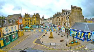
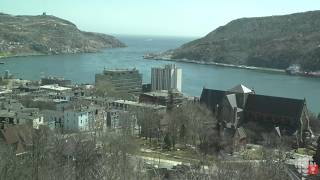
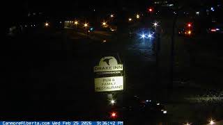
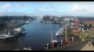
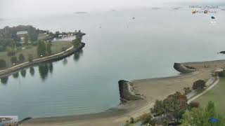
This live stream shows Channel-Port aux Basques, a coastal town in Newfoundland and Labrador, Canada. Overlooking the harbour, the camera captures ferries linking the island to the mainland, fishing boats setting out, and the changing colours of the Atlantic waters. The rugged coastline frames the view, reflecting both the natural beauty and daily rhythm of this seaport, while also serving as a tribute to Mr. Tilley, fondly remembered as “The Catalogue Man.
Channel-Port aux Basques, Newfoundland and Labrador, Canada
 CA
CA- Port aux Basques Newfoundland
- Port aux basques
- Port aux Basque
Channel-Port aux Basques is a town situated at the extreme southwestern tip of Newfoundland, fronting on the western end of the Cabot Strait in Canada. It serves as the primary entry point onto the island and marks the western terminus of the Newfoundland and Labrador Route 1, also known as the Trans-Canada Highway. The community functions as a critical gateway for maritime and road traffic entering the province.
The area's history begins with Port aux Basques, named for the harbour used by Basque whalers in the early 16th century, while Channel was settled by fishermen from the Channel Islands in the early 1700s. Permanent settlement expanded after the 1713 Treaty of Utrecht allowed French fishermen to overwinter on the coast. The town was officially incorporated in 1945, with Samuel Walters as its first mayor, and later annexed the community of Mouse Island in 1964.
The present-day town comprises several distinct villages: Port aux Basques, Channel, Grand Bay, and Mouse Island. Key landmarks include the Marine Atlantic ferry terminal, which handles extensive vehicle and passenger traffic, and the modern rebuilt railway station now used for ferry services. The landscape features extensive marshalling areas for motor vehicles and former rail yards created from blasted rock, alongside the historic Cape Ray lighthouse nearby.
Cultural heritage is preserved through the town's Mi'kmaq name, Siinalk, and its role in Newfoundland's transportation history. The community experienced significant changes during Hurricane Fiona in September 2022, which caused widespread damage and a state of emergency. Visitors are drawn to the ferry terminal operations and the historical significance of the site as a former telegraph station and railway hub that connected the island to the mainland.
According to the 2021 census, the population was 3,547, living in 1,652 private dwellings across a land area of 38.84 km2. The economy relies heavily on transportation and ferry services operated by Marine Atlantic, which utilizes vessels like the MV Blue Puttees and MV Highlanders. The climate is a maritime-influenced subarctic type with cold winters and delayed summer warmups, making it a distinct coastal environment at 47°N latitude.
 The EARF Engine